Maps maps maps

This page collects various maps for hiking, biking, and driving.
huge medium small

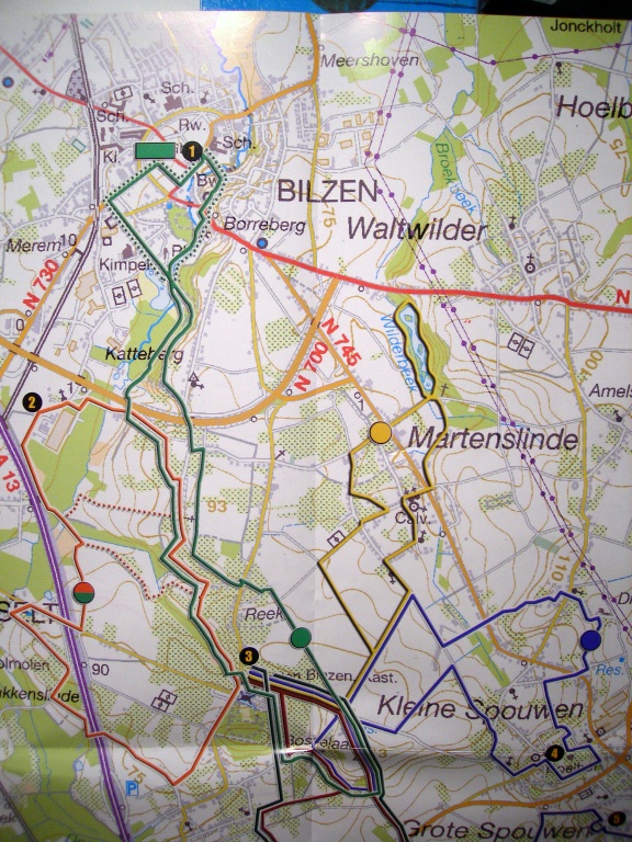
This first bunch are walking tours around Alden Biezen. They are all color-coded, and many start at the castle itself. Follow the color codes along the route (on signs by the road).

huge medium small

huge medium small

huge medium small

huge medium small

huge medium small

huge medium small

huge medium small

huge medium small

huge medium small

Explanations in Flemish---sorry.

huge medium small

huge medium small

huge medium small

huge medium small

huge medium small

huge medium small

huge medium small

Up-to-date topological maps of the region.

huge medium small

huge medium small

huge medium small

huge medium small

huge medium small

huge medium small

huge medium small

huge medium small

huge medium small

huge medium small

huge medium small

A car tour of the region. Just drive and look for the blue emblems (top right corner) under the name Haspengouwroute.

huge medium small

Example of the signage along the route.

huge medium small

huge medium small

huge medium small

A hiking tour called Biesenpad.

huge medium small

Hiking tour map.

huge medium small

huge medium small

Still larger map of bike tours.

huge medium small

huge medium small

Yet another map of the castle. The blue stuff is water. The sleeping quarters are 7 and 8. The restaurant is in 8. The talks are in 10, upstairs. Registration desk: go to 7. Parking: to the right of 8, underneath 4.

Contact

Luc Devroye
School of Computer Science
McGill University
Montreal, Canada H3A 2K6
luc@cs.mcgill.ca
http://cg.scs.carleton.ca/~luc